Club Location: 53° 52.42 N 002° 57.55 W
[wppa type=”photo” photo=”127″ align=”center”]Any comment[/wppa]
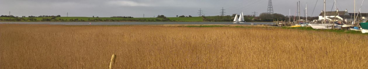
With a suitable height of tide, the River Wyre can be navigated by most yachts from its mouth at Fleetwood south to the club which is situated on the east bank about 4NM upstream. Further navigation is possible past the Blackpool and Fleetwood Yacht Club on the west bank as far as the Shard Bridge, about 1NM from Wardleys. The Shard Bridge prohibits further navigation to all but the smallest craft.
Yachtsmen are advised to contact a Club Officer before making a first passage up the River Wyre, as depths change and local knowledge is vital. Note that there are no specific berths or moorings reserved for visitors.
Entrance to Wardleys Creek is made by keeping two leading marks topped with white crosses in transit. The lower leading mark is at the top of the club slip and the upper leading mark is close to the northern end of the clubhouse.
The Club keeps an occasional listening watch on VHF Channel M1.
Address and Postcode (for car satnav users)
Kiln Lane,
Hambleton,
Poulton-le-Fylde,
Lancashire,
FY6 9DY
England