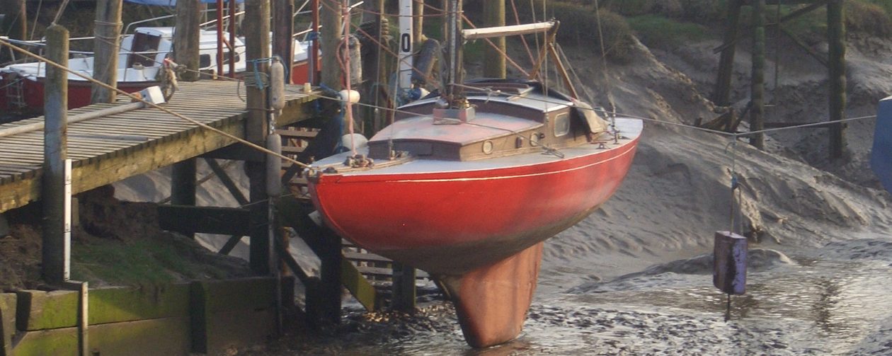
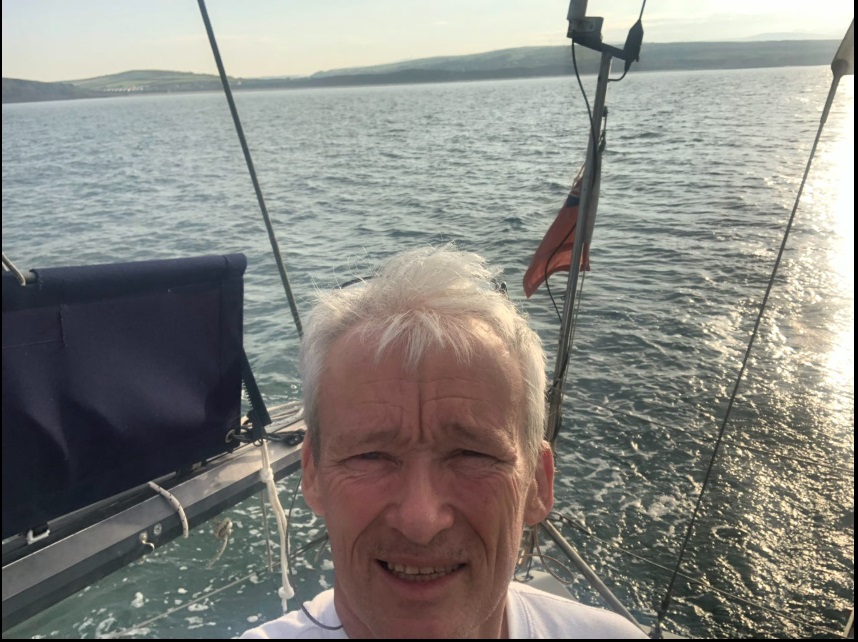
Jamila’s summer cruise took us across the Irish Sea, with the wind pushing north toward Scotland. I hadn’t sailed those waters in years, and knowing that two weeks wouldn’t be enough for a truly relaxed trip, I chose to go slow. The plan was to find a mooring at the end of the holiday and return in September to sail her home.
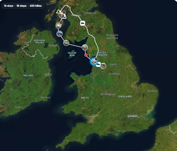
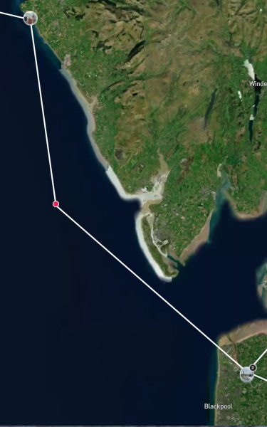
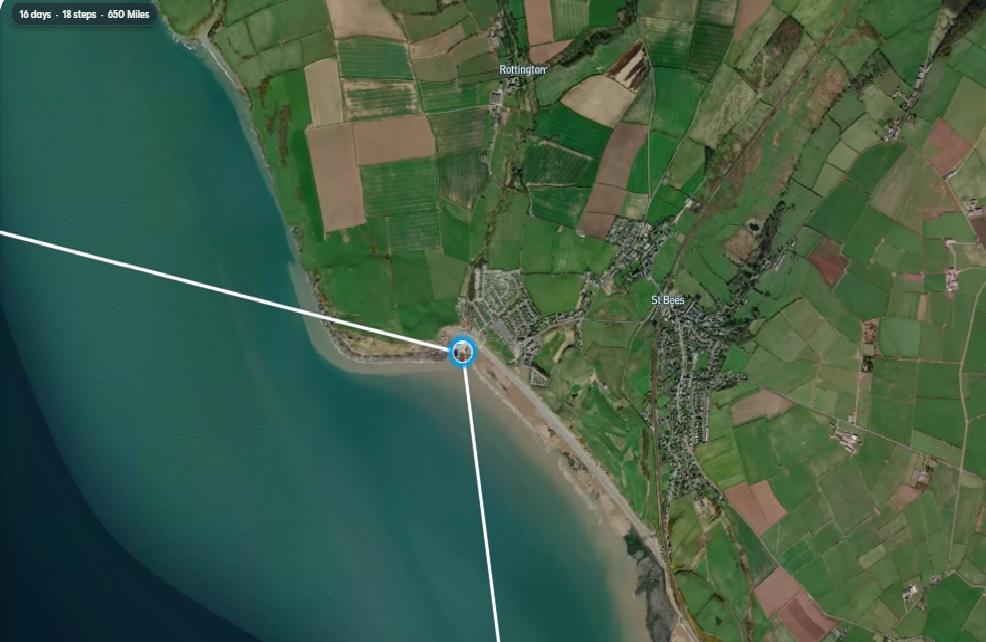
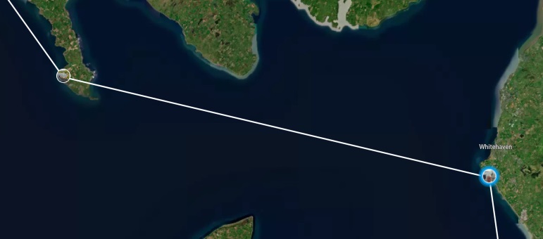
I anchored in the bay of St Bees, and it caught on the first try, holding steady all night. The night was calm and beautiful, and I slept soundly. At 6 a.m., I woke to a quiet scene with little happening around the beach. Thirty years earlier, I had arrived one morning and set off on Wainwright’s Coast to Coast walk.
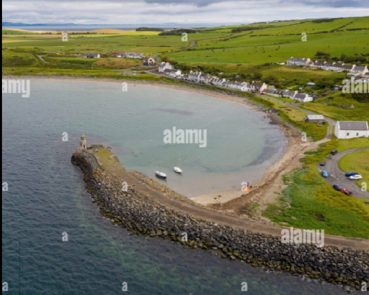
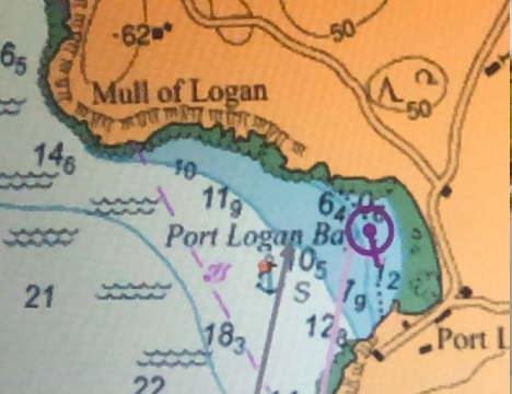
An hour before dark, I arrived at Port Logan Bay. It was a wide bay with white sands, a welcoming spot that provided good shelter from the easterly wind. Eventually, I found the perfect place to drop anchor.
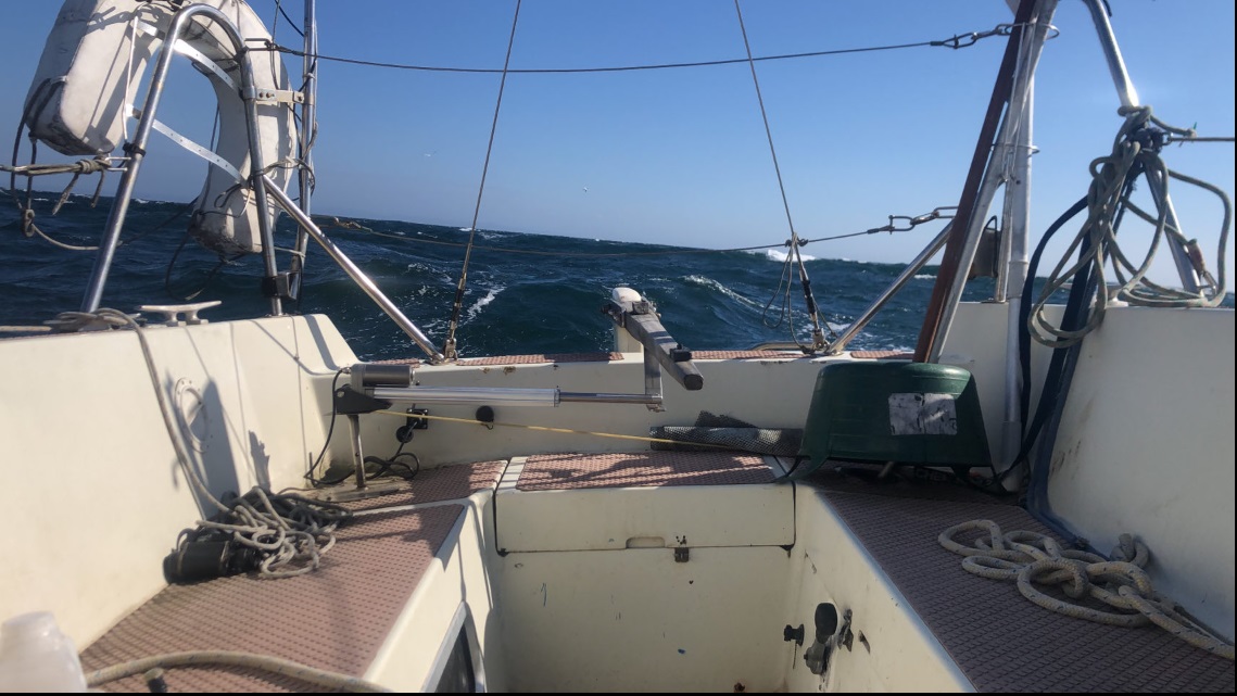
This was the first part of the trip to experience strong winds. Hitherto, the two preceding passages were in light winds, motor sailing to maintain sensible arrival times.
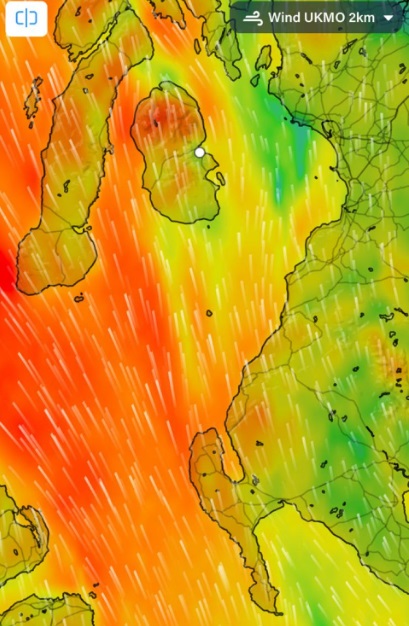
Strong southerly winds, two deep reefs in the mainsail, and enough jib to balance things out.
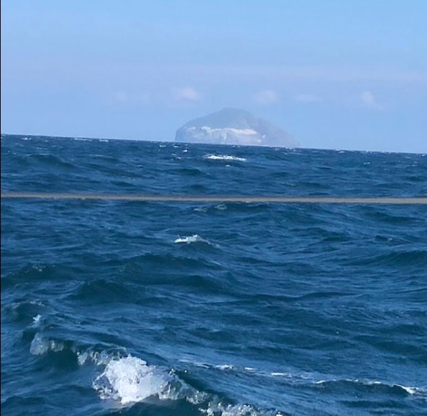
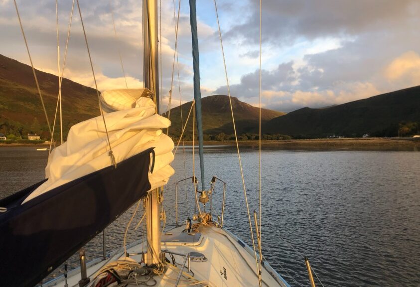
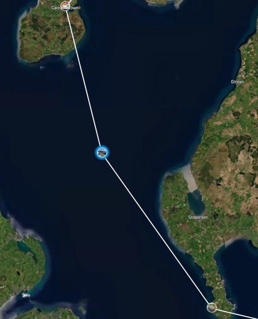
One of the joys of this passage is gazing at the island of Ailsa Craig, standing watch over the entrance to the Firth of Clyde. It feels like it belongs in the Caribbean and probably hides some buried treasure somewhere on or around it.
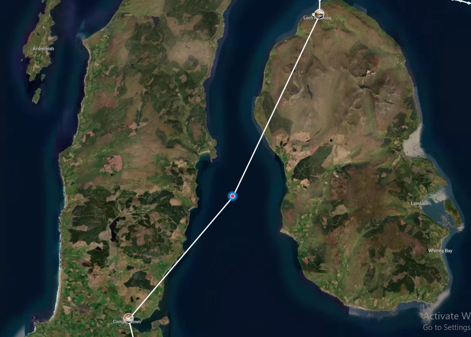
Campbeltown

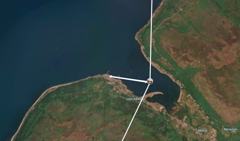
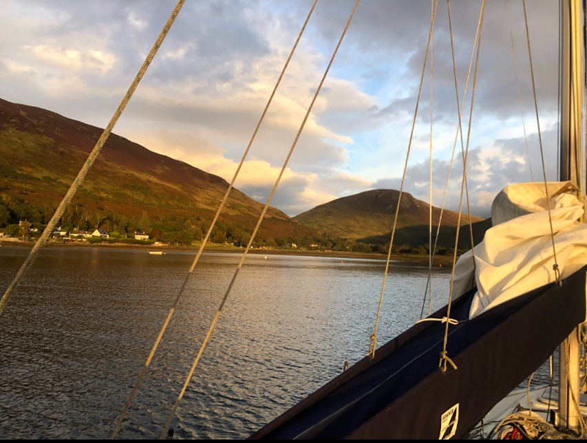
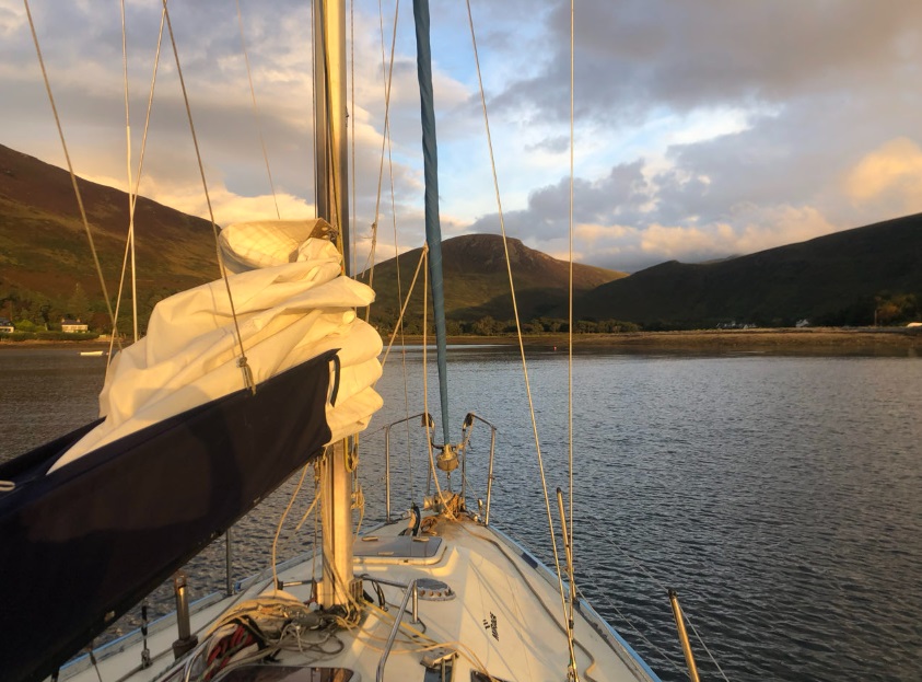
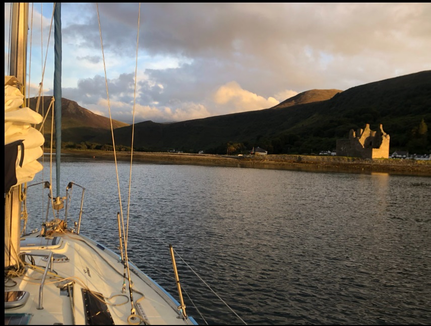
After an excessively windy sail down the east side of Kintyre, I was relieved to find myself in the sheltered waters off the large island that guards the entrance. I reached someone on the VHF radio, so I located the first suitable finger pontoon and tied up with the help of another sailor. The sunny blue sky, though still very windy, broke overnight. In the morning, Campbeltown looked quite gloomy, which made me feel down and reluctant to do anything—an anticlimactic moment. However, my spirits lifted when the sun came out later, and I managed to collect 20 litres of diesel and some other supplies before leaving Campbeltown for a relatively short passage down the west side of Arran to Lochranza.
I had a great sail down from Campbeltown. I raised the sails shortly after leaving the marina and surged past the large island guarding the entrance, navigating with a strong F4/F5 wind from the southwest. Once I was heading north, with Kintyre to port and Arran to starboard, I had four hours to experiment with the settings on my new Tiller Pilot and compare it with my trusty old Simrad. The results were quite interesting. The Pelagic performs better when a heavier hand is needed, while the Simrad excels with lighter adjustments. It seems that the Simrad recognises cyclical movements and knows that sometimes only a gentle nudge is required.
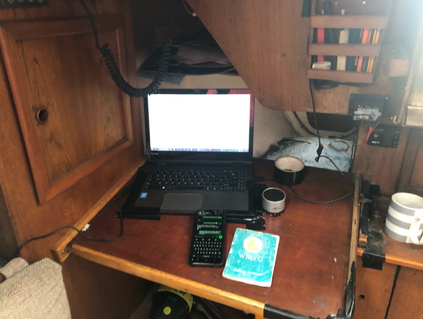
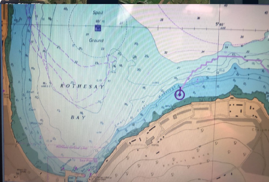
There are three chartplotters on board. The first is a Windows laptop that runs a raster plotter with all the Admiralty charts for Great Britain. The second is a recent Android smartphone that features modern vector charts covering the Irish Sea and the west coast of Scotland. Out of sight is an older Garmin plotter from 2012. All three chartplotters provide accurate positioning within 10 meters. Ironically, the software and processors used in space are from an older generation than all of my equipment.
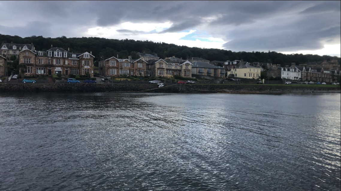
Rothesay, Kyles of Bute
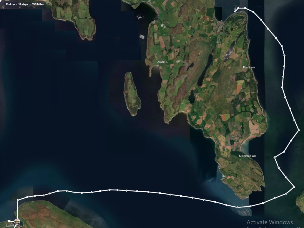
I’m currently sailing in awe-inspiring scenery. The weather has been favourable, allowing for a broad reach across the head of the Isle of Arran, followed by two tacks—one to starboard and then one to port—into Rothesay Bay. There are many beautifully solid stone houses along the seafront, built by successful Glaswegians during the heyday of the world’s first industrial revolution.
To be continued…